- ABOUT US
- CARGO
- PASSENGERS
- MULTIMODALITY
- ECOLOGICAL TRANSITION
- INNOVATION
innovation : Drones at port service
Published on - Updated
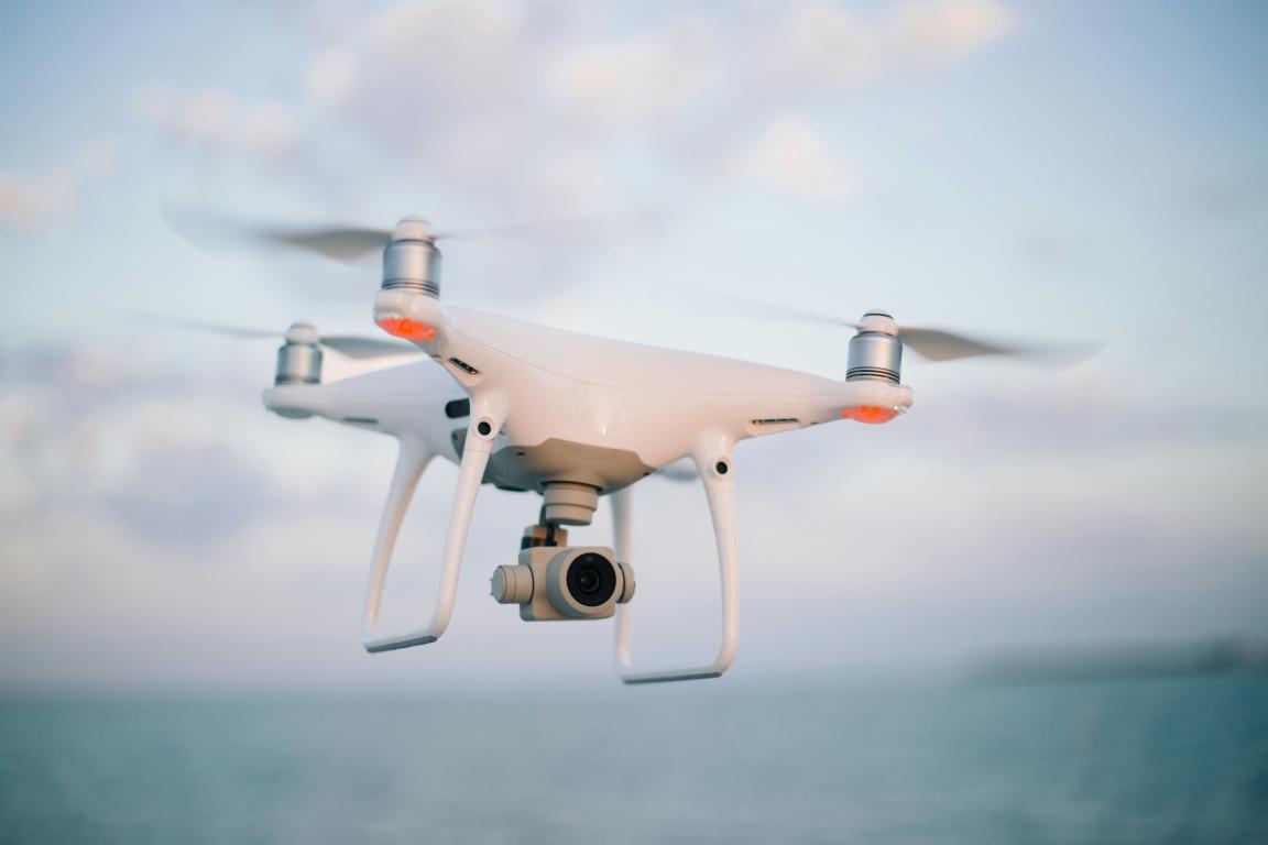
HAROPA PORT didn't wait long to take advantage of the numerous benefits offered by these autonomous tools: time savings, real-time information, reduced risks for HAROPA PORT teams.
Overview of port applications and the techniques used
Faced with the growing challenge of climate change, monitoring flood protection structures is a priority. Drones, equipped with high-resolution cameras and specilized sensors, carry out detailed inspections.
This technology offers an unrivalled aerial view, enabling HAROPA PORT to identify vulnerable areas in real time and anticipate necessay measures.
HAROPA PORT also uses drones for technical inspections of its port infrastructures (roofing, lighting pylon, etc.) to guarantee their durability and safety.
The port also uses them to monitor its construction sites. With aerial views available in real time, HAROPA PORT’s teams can monitor the progress of work and regularly update Google Maps backgrounds.
It can also be used to calculate cubature of the port's dredging depot chamber, providing real-time information on material stocks.
Aerial photogrammetry
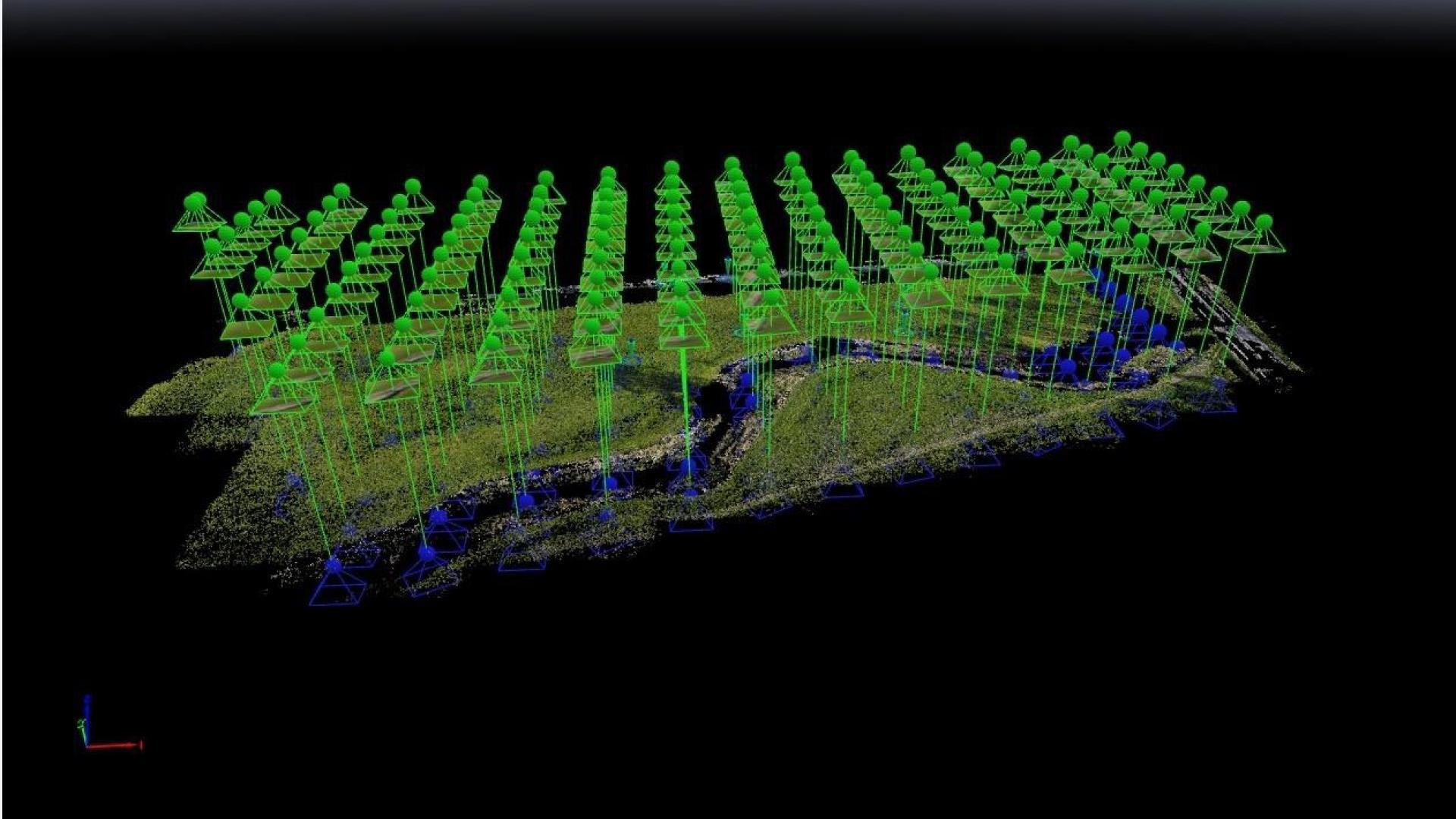
Drone photogrammetry is an innovative technique for high-precision 3D models. A drone takes a multitude of aerial images from different points, which are then analyzed and modeled in appropriate software.
The digital file can then be used by various departments, such as the GIS department, to locate new activities and customers.
This technology, which makes it possible to fly over hard-to-reach or even inaccessible areas, rapidly delivers highly accurate results. It also saves precious time compared to terrestrial topography.
In nine minutes, a drone can capture up to 131 images over an extended area of 5 hectares, for 14 million georeferenced points.
The use of drone is part of the first french port strategy to place innovation at the service of its activities.